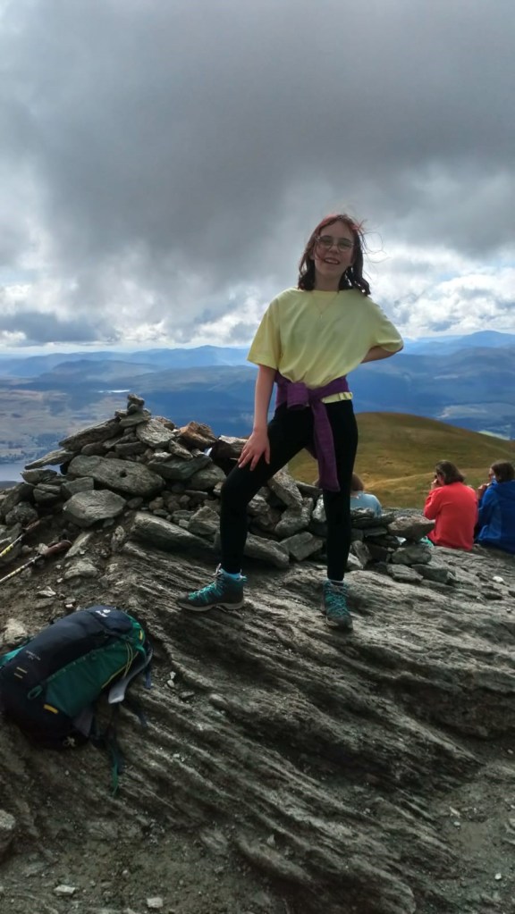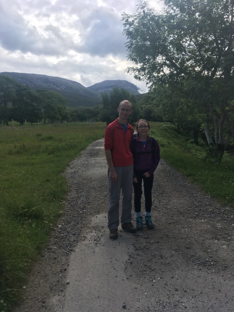
| Date: 09/07/2023 | Age: 13 |
| Height: 808m | Time: |
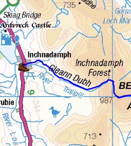
| Distance: | Location: Assynt |
| Geology: Lewisian gneiss | People: Me, Dad |
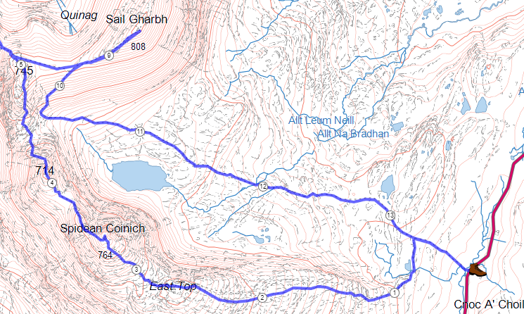
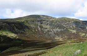
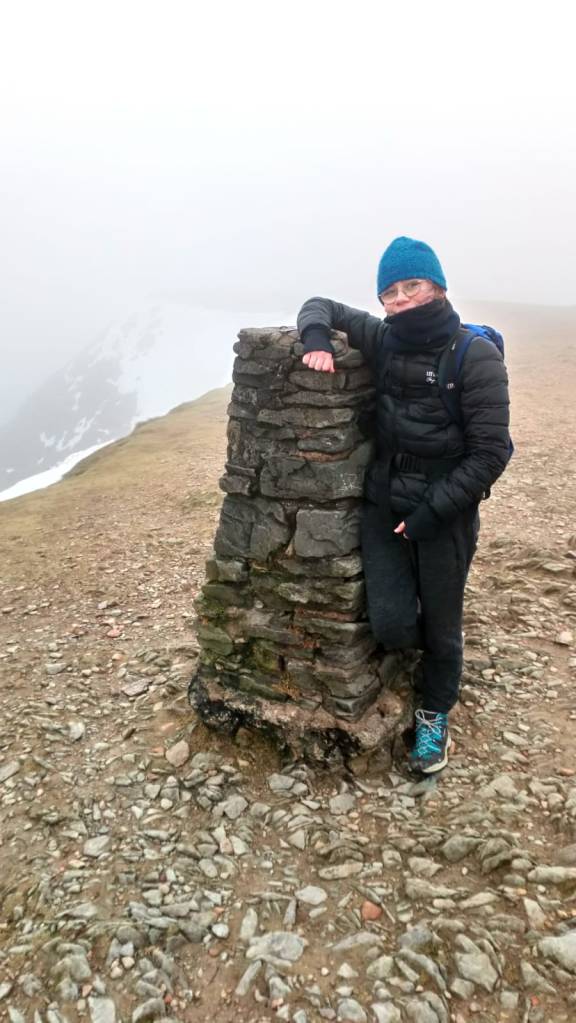
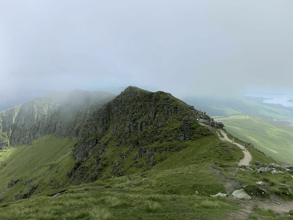
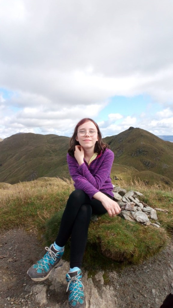
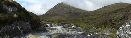
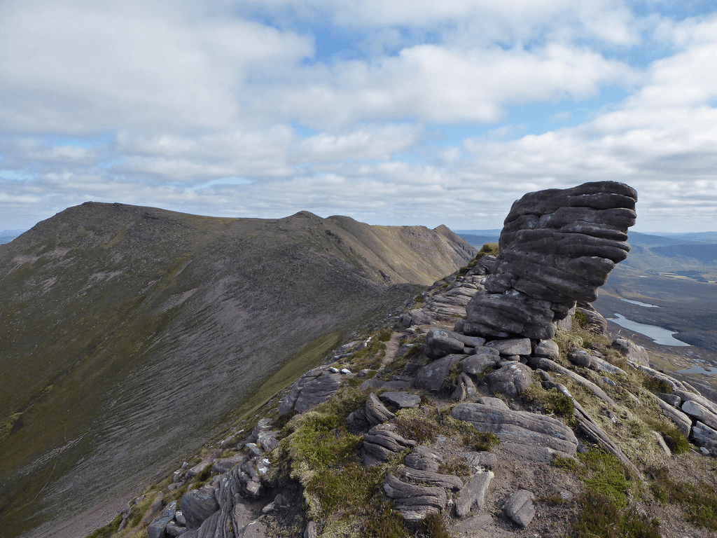
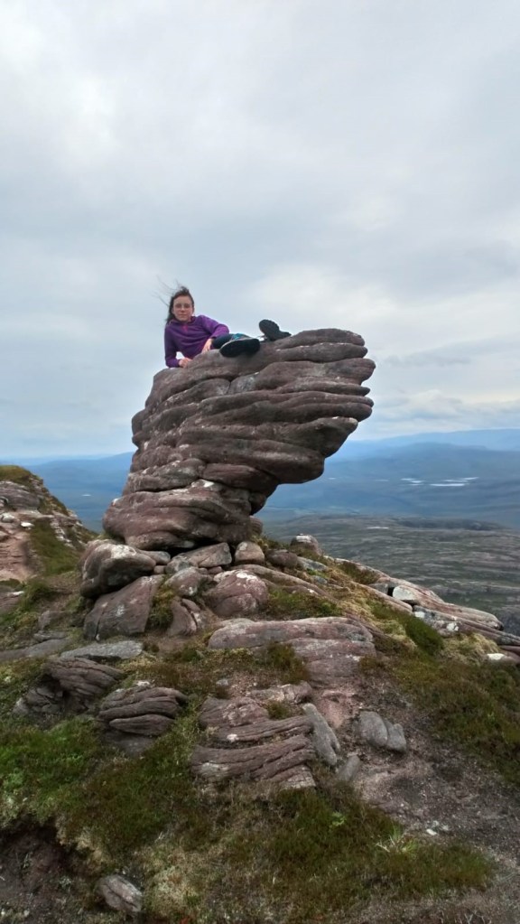
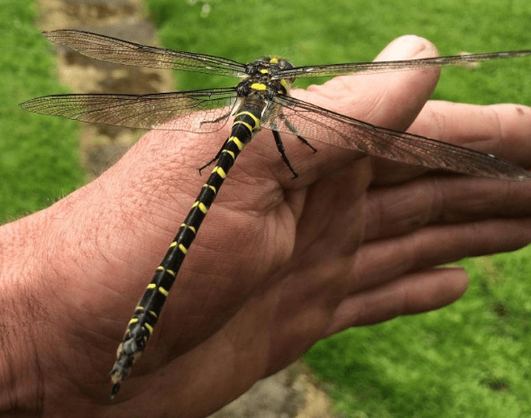
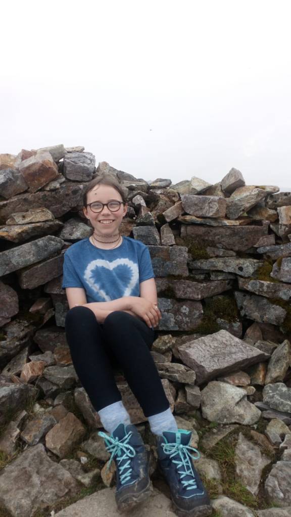
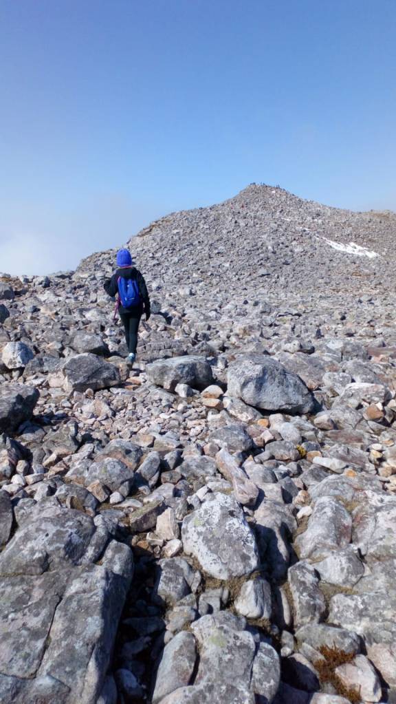
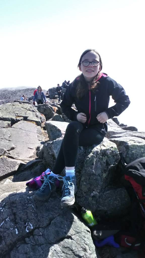
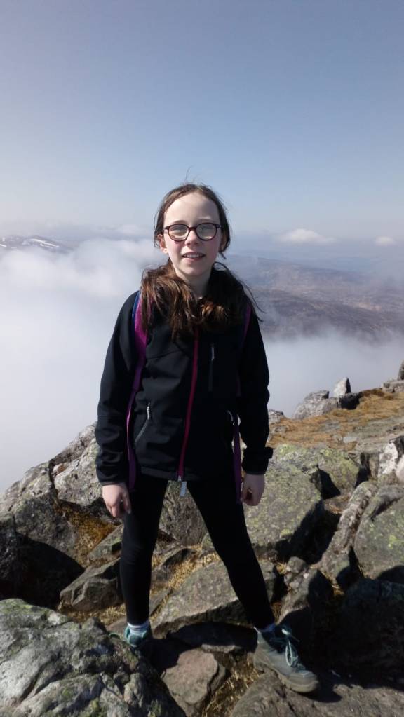
We started the walk at around half past ten. We had looked at the mountain forecast and thought it would be a good day. We saw clouds surrounding quite a few of the other hills but Quinag was still clear so we were hopeful for a clear day. We started along a well constructed path before turning off to walk up a rocky hill. There were lots of beastly slugs and every time I saw one I shouted “ ugh slug.” and pointed at the slug. It had rained the day before so there was lots of water running down the path, making it quite slippery. The walk to the first peak was quite smooth although the path kept petering out and was quite hard to follow. We reached the top of the first peak in nearly two hours. It was quite hard going and I was puffing and out of breath. When we reached the top, there was quite a bit of mist blocking our view. Next, we climbed down a steep, rocky slope onto the ridge and then upwards ridge to the next bump. We had a slightly foggy view. We made our way down to the bealach. We met a guy who had walked up another way and he chatted to my dad. He said “hmm I don’t like the look of that black cloud.” We ate our lunch on the bealach watching the clouds creeping in to completely surrounded us. While we ate our lunch a tiny little toad sat at our feet, it was adorable. The climb up to the next ridge was very hard as I was quite tired. We decided that we were only going to do two of the three Corbetts. We walked along the ridge to the peak of the second with mist still shrouding our vision. The mist was quite moist, wet enough that my hair was soaked. It looked almost as if I had gone swimming. We reached the peak but didn’t stay long as there was no visibility and all there was to see, was the rocky top of the hill. We walked down off the ridge wet, soggy and tired, having seen half a dozen toads and way too many slugs. Sadly as we were quite tired we only did 2 of the 3 Munroes.